 MENU
MENU 

Researchers build groundbreaking device for NASA SMAP mission
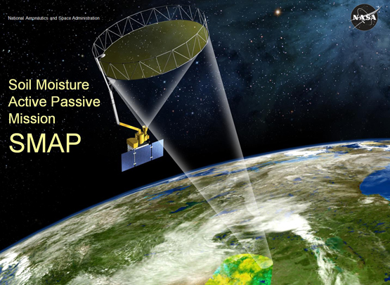
The SMAP mission is NASA’s most ambitious sensing project yet for measuring global soil moisture levels.
 Enlarge
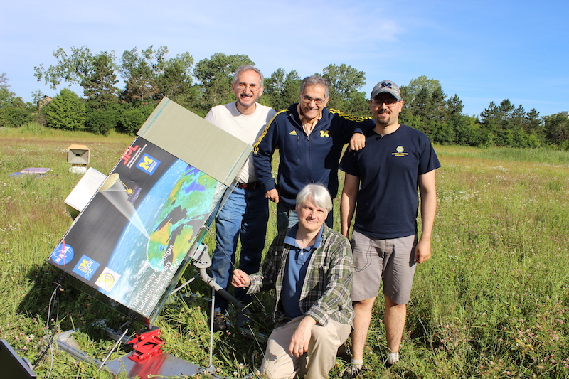
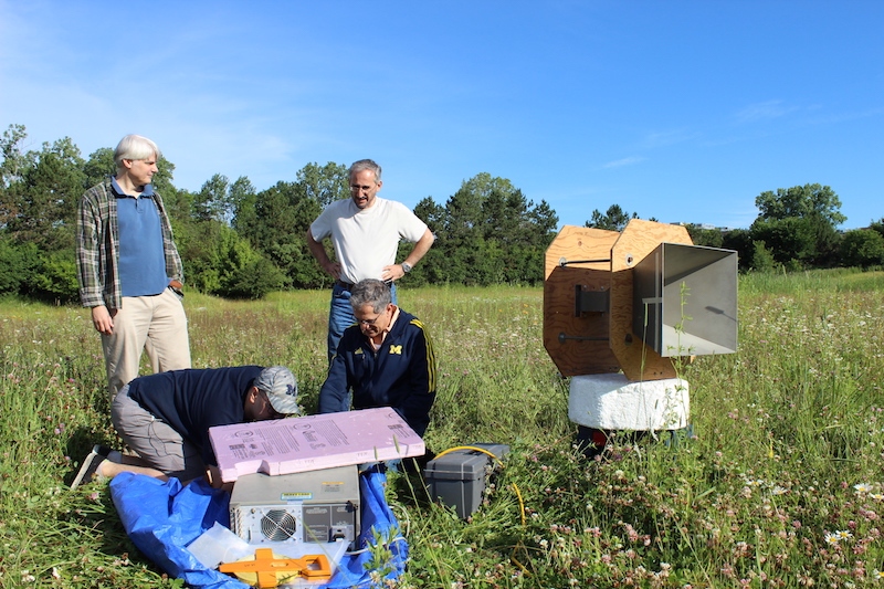
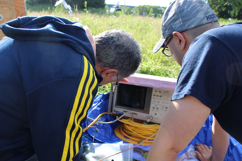
UPDATE June 24, 2015: The research team responsible for the radar calibration device went out to the field to run tests and calibrations. The visit was timed with the SMAP satellite flying over the area, which occurs every 8 days at exactly 8:23am.
The SMAP mission is NASA’s most ambitious sensing project yet for measuring global soil moisture levels. The data the satellites collect will enhance our understanding of many moisture cycles, including weather and climate. It will enable improved weather pattern predictions by taking global readings of soil moisture, rather than just local.
The U-M device, which serves as a callibrating reference point for the satellite’s measurements, is currently in a field is close to North Campus – and is being used now as the researchers continue to perfect the calibration. Eventually, they will find a field that is flat with no surrounding buildings (low backscatter) for long term.
For now, though, the location serves its purpose well. Despite the fact that the box is small and that there are large buildings in the area, the team still gets a 100-200x larger response from the box than anything in the area.
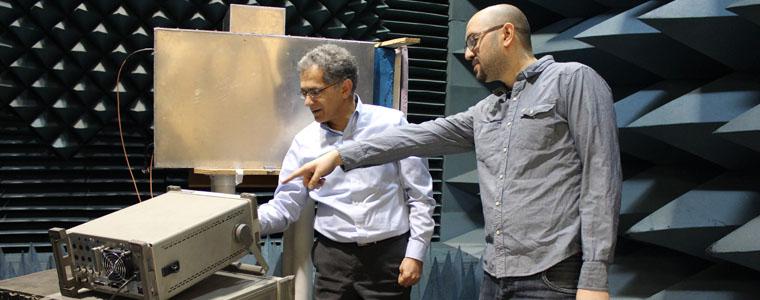
A research team led by Prof. Kamal Sarabandi has constructed the most powerful radar calibration device in the world to interface with NASA’s newest orbiting satellite, called Soil Moisture Active Passive (SMAP). SMAP was launched Saturday, January 31, 2015.
SMAP is a 5-year mission that will measure the amount of water present in the top 2 inches of soil around nearly the entire Earth (only excluding the Poles). The data collected by SMAP is expected to improve our ability to forecast the weather, monitor droughts, predict floods, enhance crop productivity, and understand the Earth’s water, energy, and carbon cycles. SMAP is the first satellite ever built to specifically target soil moisture.
U-M’s calibration device will provide a reference point on the mission’s finished maps. It becomes a known value used to scale the rest of the data on the map, ensuring accurate results.
Sarabandi, the Rufus S. Teesdale Professor of Engineering, said U-M invented radar calibrators to interact with satellites 15 years ago, and they were sufficient for the satellites in space at that time.
 Enlarge
SMAP, however, sends out a signal that covers a greatly expanded area. For example, most existing satellites cover a swath of about 50km. SMAP covers 1,000km. This means that a single pixel of the SMAP radar’s image will cover an area of 1km x 1km, as opposed to 30m x 30m.
This required a dramatic improvement in the radar calibration device to ensure an accurate interpretation of all the data being collected.
A radar calibrator includes an antenna that captures the signal from the satellite as it passes overhead, and specialized circuitry to amplify the signal before it gets sent back to space. The return signal, called backscatter, has to be stronger than anything else in the area.
When that area is a manageable 30m x 30m, it’s no problem. When that size is increased to 1km x 1km, the returning signal must be dramatically amplified in order to be differentiated from the surrounding backscatter.
Prof. Sarabandi’s device provides a return signal that is 1,000x stronger than anything in existence today.
“This device is very unique, one of a kind,” Prof. Sarabandi says. “We were even thinking of contacting Guinness World Records to have them put it in there.”
SMAP’s ability to cut a 1,000km swath means it can image the Earth in 2-3 days. Existing radar satellites take several months to illuminate the entire Earth.
“This global coverage time period is basically unprecedented for radar applications,” Prof. Sarabandi says.
Being able to capture the information faster means scientists will have a more accurate picture of what’s happening on a day-to-day basis in soil moisture, and by extension, allow them to adapt much more quickly to changing conditions that may impact society (severe storms, floods, droughts, etc).
In addition to its power, the device is unique for its ability to operate completely autonomously. Solar panels charge its battery; a specialized computer algorithm allows it to wake up every few days to catch, process, and return the signal; and data is transmitted in real time wirelessly to NASA scientists and other researchers around the world.
The first radar calibration device is still being tested, and will be placed in a field in Michigan within the next few weeks. The SMAP satellite won’t be ready to transmit a signal for several months.
“This is very exciting for us,” said Prof. Sarabandi. “There is no equivalent to this mission.”